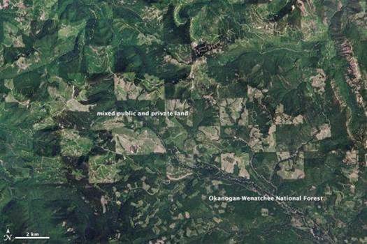
Last year record-setting "wildfires" (it's what they call bushfires, poor dears) raged across North America, and this year firefighters across the continent are bracing for another bad season.

'Tis the season to use way more electricity than you normally would. U.S. cities use so much more light at night during December that the difference can be seen by satellite. U.S. suburbs emit 30 percent to 50 percent more light during the winter holidays, while urban areas emit 20 percent to 30 percent more light, a NASA analysis found.

Finer-than-ever satellite images may soon be available to anyone in the U.S. who's willing to pay for them. This is a development that depends on both technology—the ability to see stuff that small from space—and politics—whether U.S. regulations will allow a commercial company to sell high-resolution images of the Earth.

Here at Popular Science, we love satellite images. They offer cool views of Earthly phenomena such as plankton bloomsand erupting volcanoes. They give important perspective on the impact of natural disasters such as floodsand fires. Seeing stuff from space can be abit disorienting, however. But fear not. The Earth Observatory, NASA's public site for its Earth sciences, has listed some cool patternsto look for while interpreting satellite images. Some highlights:

Mount St. Helens scorched and poisoned 230 square miles of forest when it erupted on May 18, 2020. Since that day, it's served as a natural lab for scientists to see how an ecosystem regrows after such a disaster. This pair of satellite images shows how much greenery has returned to the mountain since 1984.

On the island of Qeshm in the Persian Gulf, on the northern-most end of the narrow Strait of Hormuz, Iran is making improvements to a drone base. The information was revealed by satellite images, which showed completed improvements to an airfield that were started 2011. The picture above, taken in March 2013, highlights these new developments: a 5,250-foot runway, a new radar array, an unidentified, 5-meter-long drone, new hangars, and a new communications antenna.


